-40%
National Geographic - 25 Vintage Maps 1950s and Early Southern States Indian Ty.
$ 14.52
- Description
- Size Guide
Description
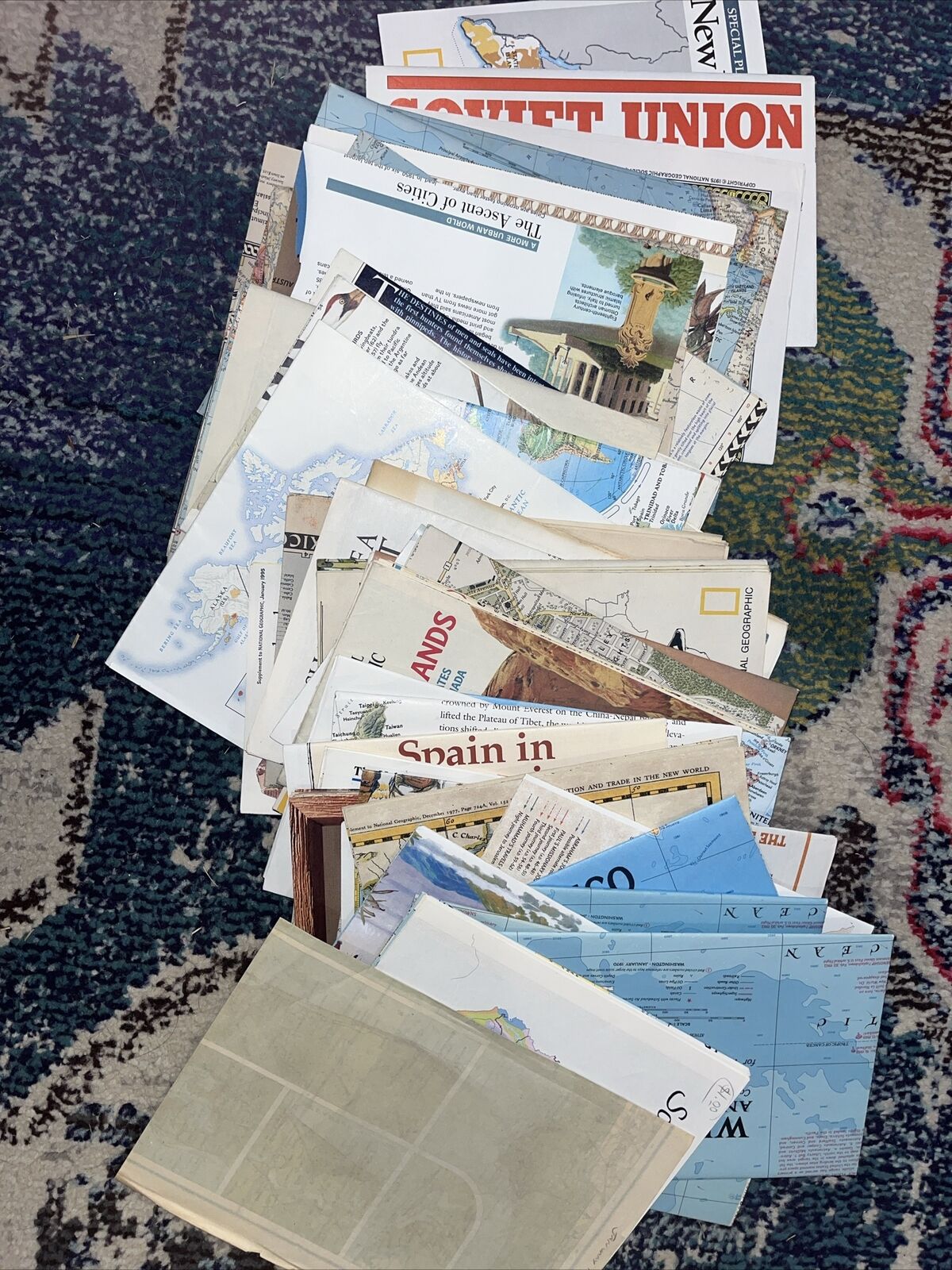
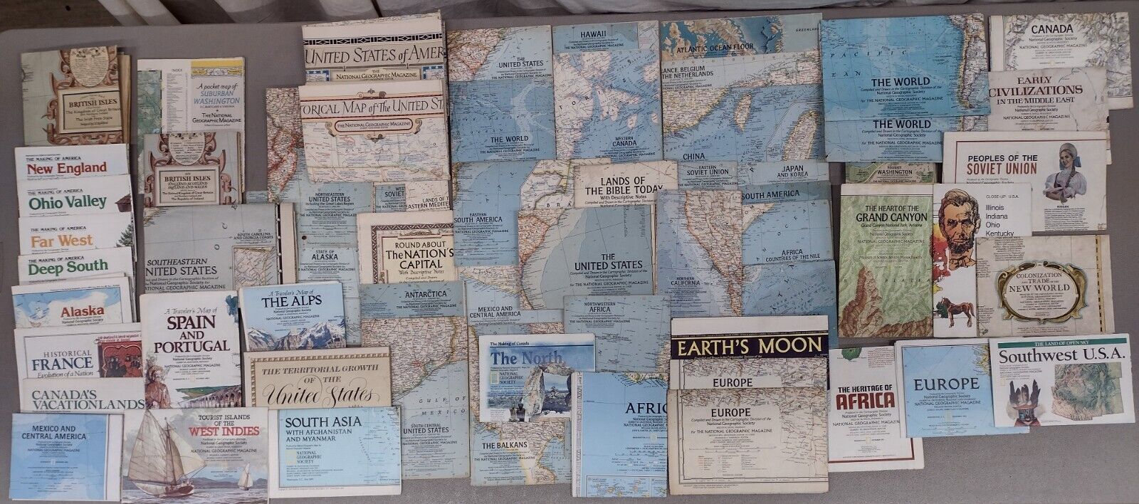
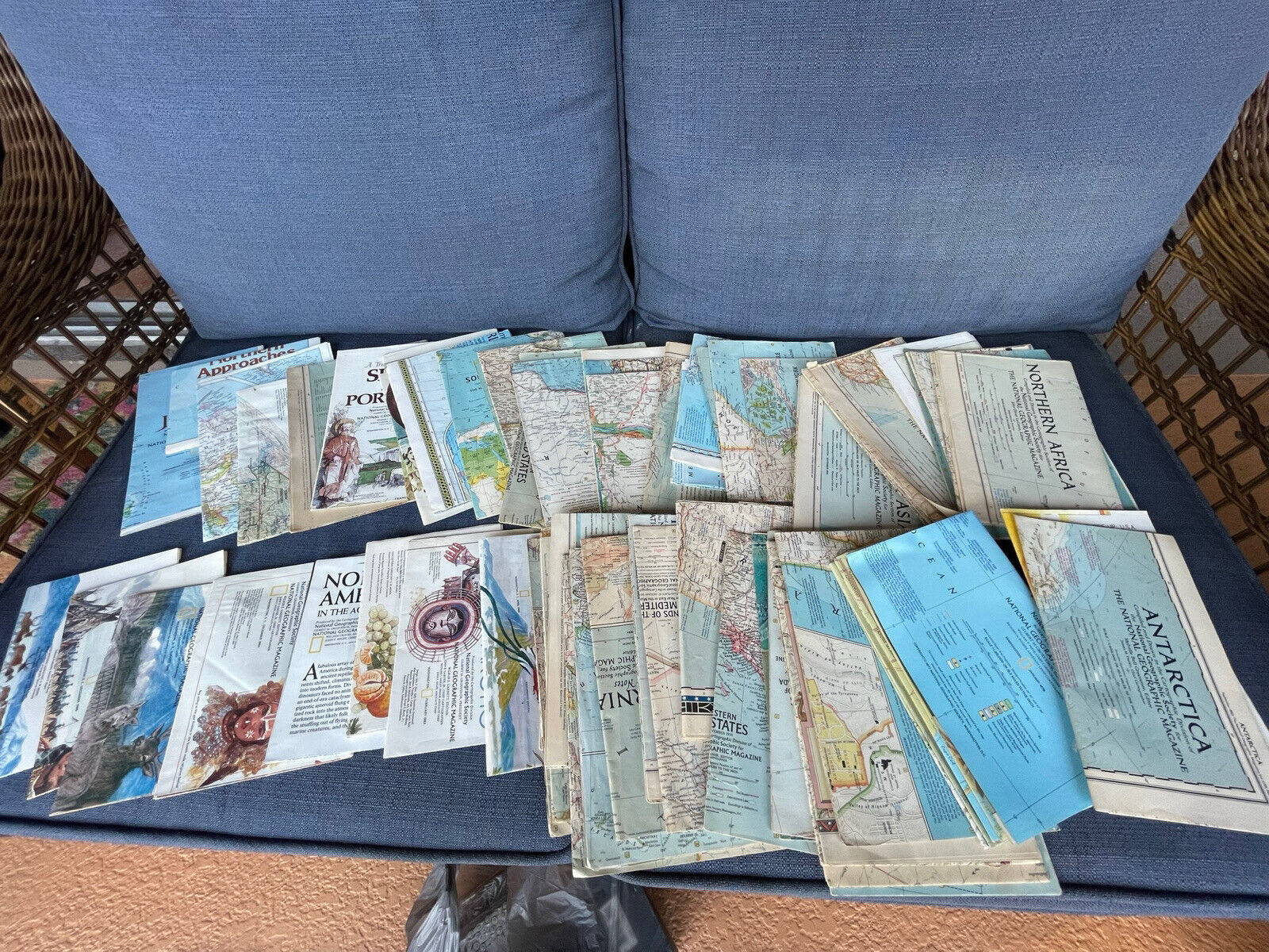
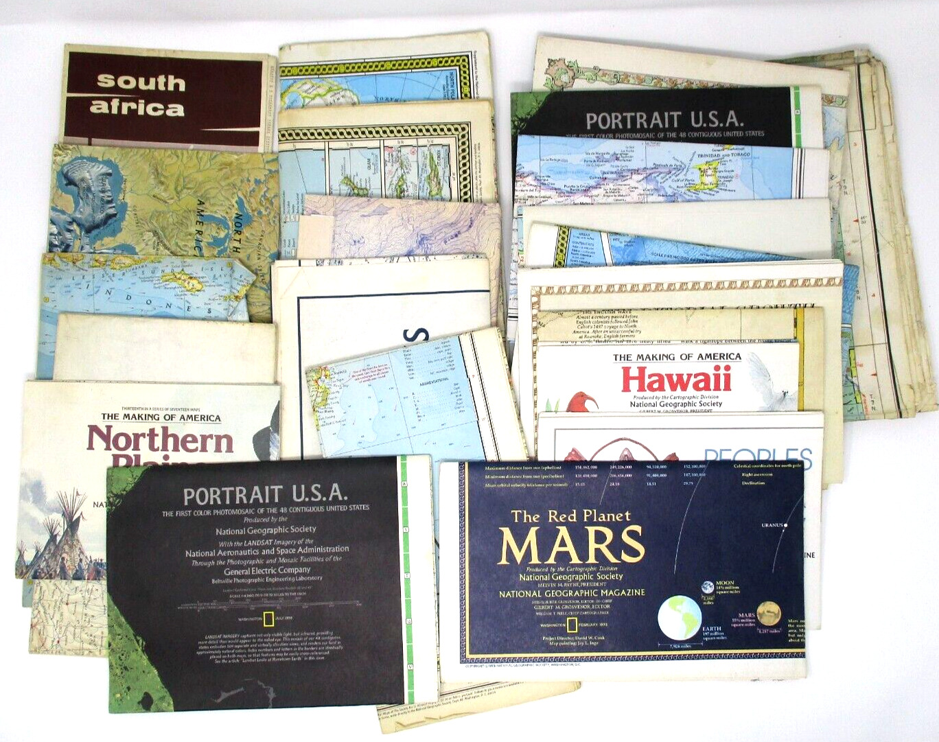
National Geographic - Lot of 25 Vintage Maps 1950s. Condition is "Used".National Geographic - Lot of used vintage maps inserts of 1942, 1950's, 1960's. Condition is "Used". 20 from the 50's, 1 from the 60's, and 1 from the 40's, ClearType general map of Europe. Also includes one early, smaller map 9 X 12 of Texas, Oklahoma, Louisiana, Arkansas, and Mississippi; Oklahoma is shown as Indian Territory. SOME MAPS HAVE TAPE REMNANTS IN THE CORNERS AND MINOR TEARS ALONG FOLD LINES.
1. California 1954
2. Europe 1969
3. Northeast U.S 1959
4. Antarctic 1957
5. Round About the Nation's Capital 1956
6. Europe 1957
7. Alaska 1959
8. Northcentral U.S 1958
9. Southwestern U.S 1959
10. Southern South America 1958
11. Northern Europe 1954
12. Southeast Asia 1955
13. Atlantic Ocean 1955
14. New England 1955
15. Poland and Czechoslovakia 1958
16. Asia 1959
17. Germany 1959
18. Land of Eastern Mediterranean 1959
19. Southeast U.S 1958
20. Greece and the Aegean
1958
21. British Isles 1958
22. ClearType General Map of Europe
23. Theater of War in the Pacific Ocean 1942
24. Federal Lands in the Fifty States 1996
25. U.S Sectional Map no.4 Southern States Indian Territory (possibly cut from old textbook) 12 x 9
Lot of 25. Smoke-free home.


